05 · Our third pillar
Every tree counted. Every root remembered.
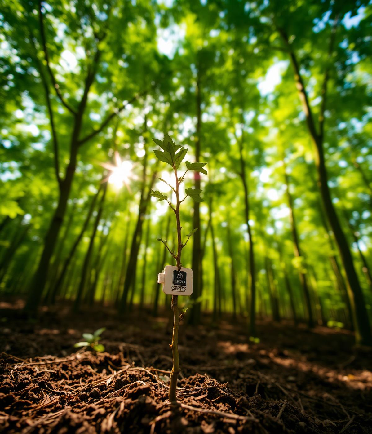
Reforestation pledges only matter if they are measurable. Our tree tracking system replaces vague sustainability claims with real, geo-tagged, longitudinal data.
Our approach
We built this system after recognizing a widespread gap in the environmental sector: organizations plant trees, announce impressive numbers, and rarely follow up on survival rates, growth, or long-term outcomes.
RISA closes that gap. When you plant with us, you don't just plant a tree — you track its life, from seedling to canopy.
What we offer.
01
Geo-tagging at planting
Every tree is registered with GPS coordinates, species data, and a planting timestamp the moment it enters the ground.
02
Ongoing growth monitoring
Field teams and remote sensing tools periodically assess each tree's health, height, and survival status.
03
Digital certification
Sponsors and CSR partners receive verifiable digital certificates tied to specific, trackable trees — not abstract totals.
04
Real-time dashboards
Partners log in at any time to see the live status of their trees, including survival rate and growth trends.
05
Impact reporting
Periodic, data-backed reports quantify carbon sequestration potential, canopy growth, and ecological outcomes.
06
Long-horizon accountability
We follow every planting for years — not just at the moment of planting — because that's when the story actually begins.
Spotlight · Risa TreeTracker
A digital monitoring system built for mangrove restoration.
Our current flagship deployment powers a coastal mangrove restoration project. Risa TreeTracker replaces paper logs with a mobile-first platform: field teams register every propagule with a photo, GPS coordinates, and species data — even offline — and sync automatically once back in range.
An administrative dashboard runs verification workflows and quality control, while a public webmap displays fuzzed coordinates of verified trees so funders, agencies, and communities can independently see progress. Retracking on a 30 / 60 / 90-day cadence turns single planting events into a decade-long survival record — the evidence base for carbon markets and adaptive management.
- <10 m
- GPS accuracy
- 95%
- Verification SLA
- 99.9%
- System uptime
- 30 / 60 / 90
- Retracking cadence
- 100%
- Offline capable
- 10 yr
- Monitoring horizon
Per-tree coordinate precision in the field.
Of submissions verified within 7 days.
Dashboard and sync availability, rolling 90d.
Days between survival and growth checks.
Field capture works with zero connectivity.
Longitudinal record per planted tree.
Get in touch
See TreeTracker in action.
Book a live walkthrough of the platform, or tell us about the restoration project you'd like to bring online. We respond within two business days.
- · Guided demo
- · Pilot scoping
- · CSR partnership
Our commitment
Built on measurable trust.
Radical transparency is the whole point. Every claim we make — organic, sustainable, planted — is backed by traceable data. That's how environmental commitments turn into environmental outcomes.
Continue
Market & Branding →